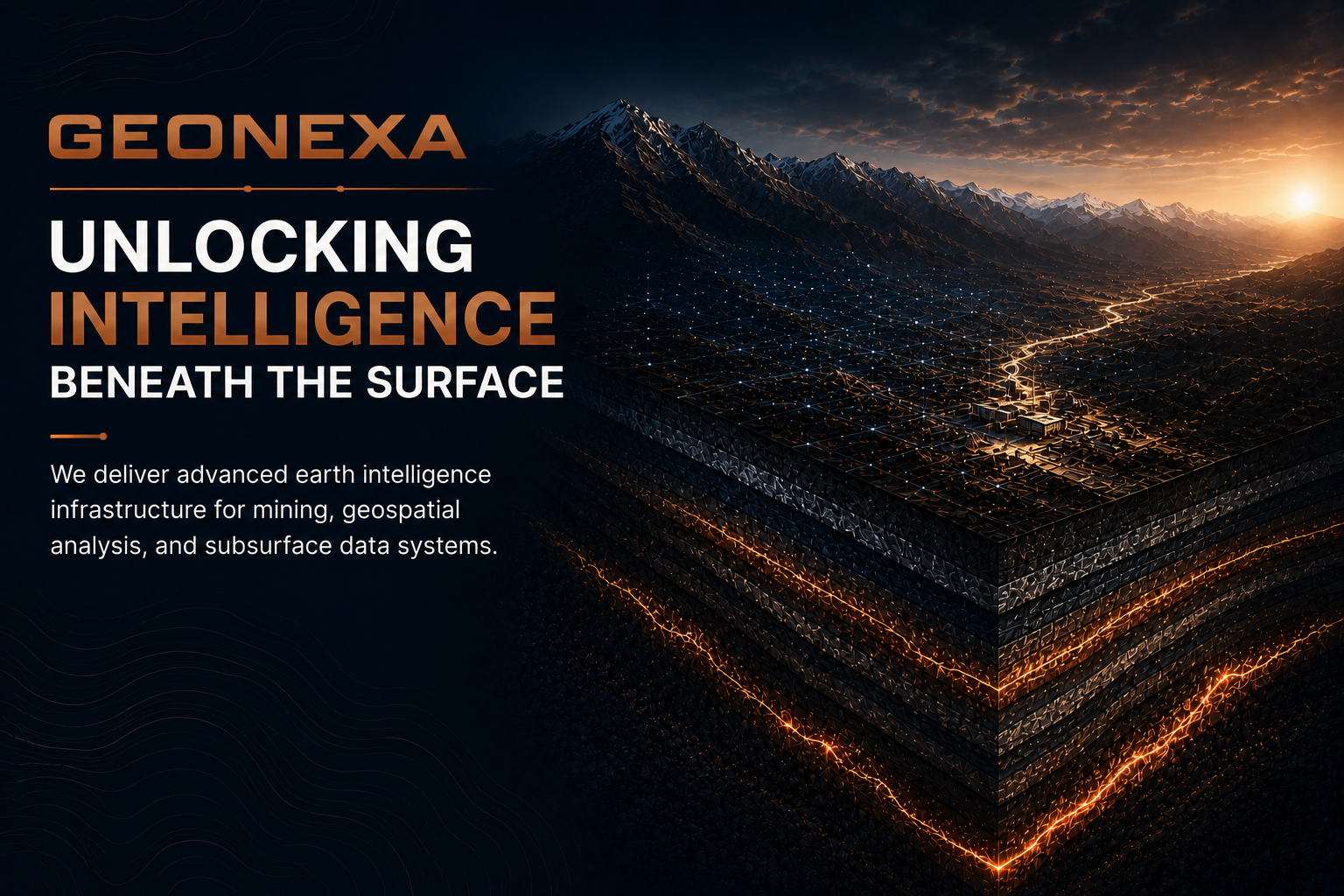
GEONEXA provides earth intelligence infrastructure through advanced geological, geospatial, and subsurface data solutions.
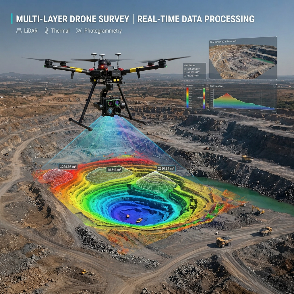
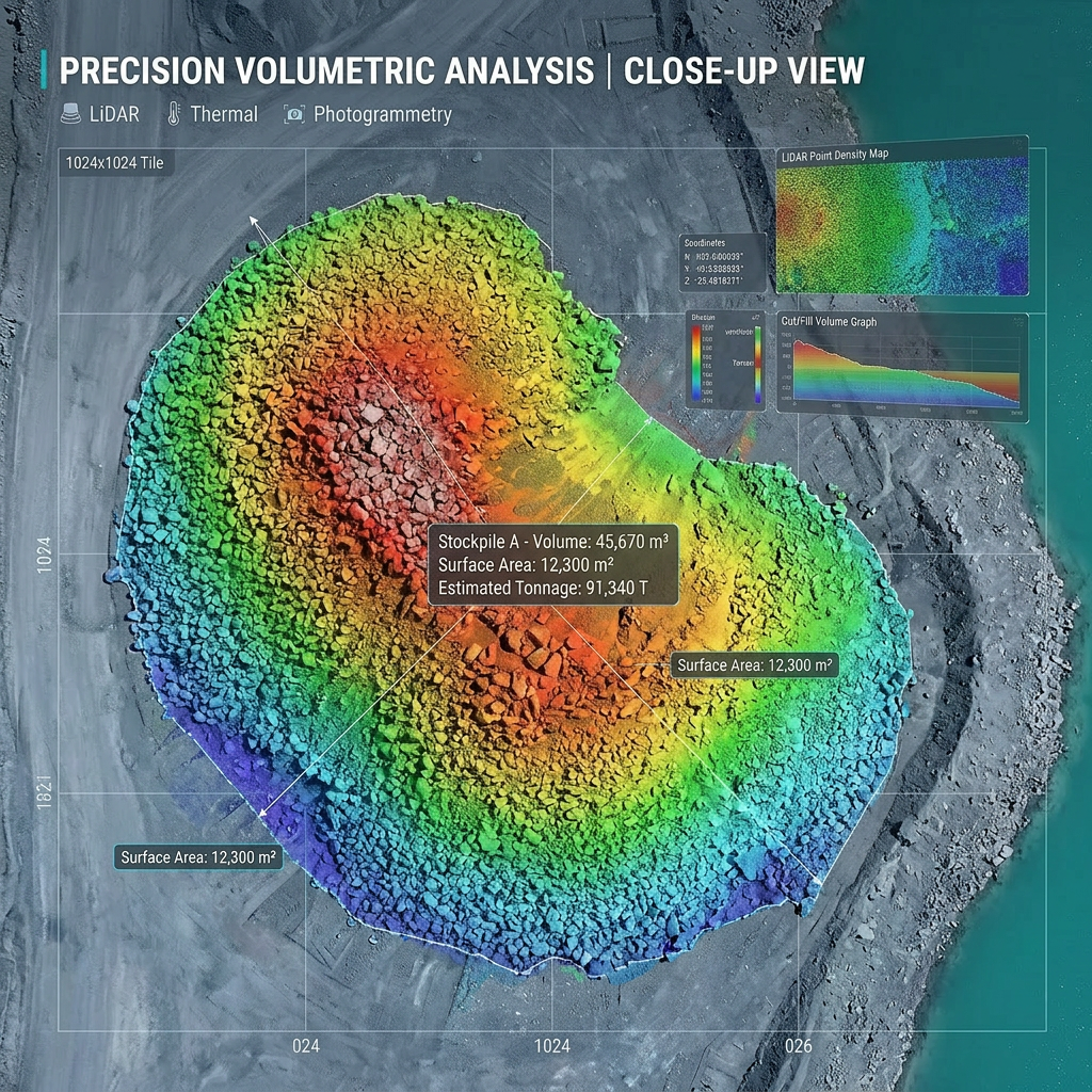
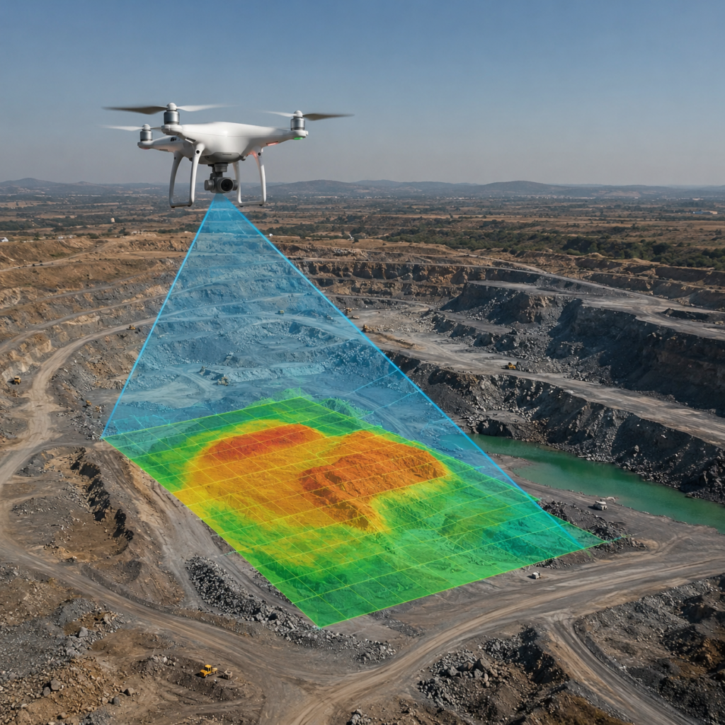
DRONE SURVEY & AREAIL MAPPING
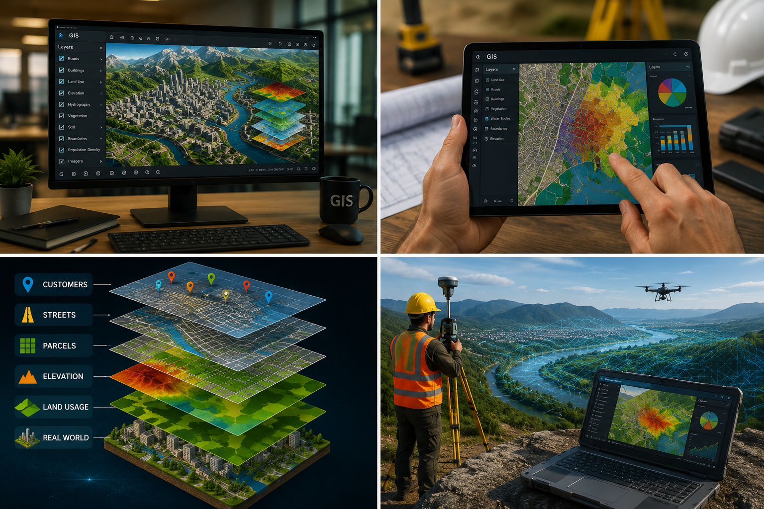
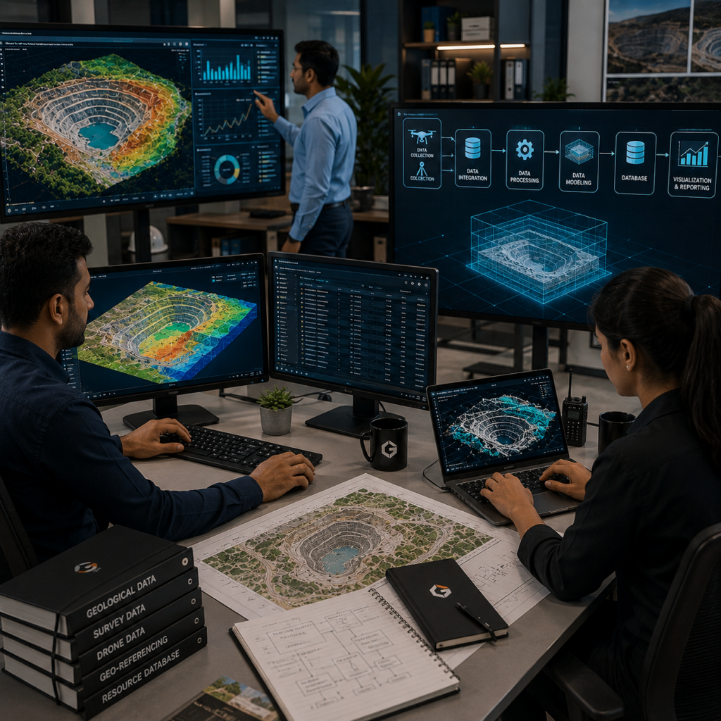
Our drone-based surveys support accurate topographic mapping, site assessment, volumetric analysis, land monitoring, and spatial data collection with improved efficiency and High-precision UAV survey solutions for terrain mapping, geospatial analysis, volumetric assessment, and aerial data acquisition using advanced drone and remote sensing technologies.
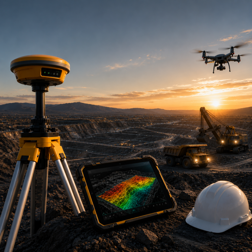
GPS (Differential Global Positioning System) is an advanced surveying technique used to obtain highly accurate geospatial coordinates and positioning data. By using correction signals from reference stations, DGPS improves location accuracy for mapping, land surveys, infrastructure planning, and geospatial analysis.It is widely used for topographic surveys, boundary demarcation, construction layout, mining applications, and precision earth data collection.
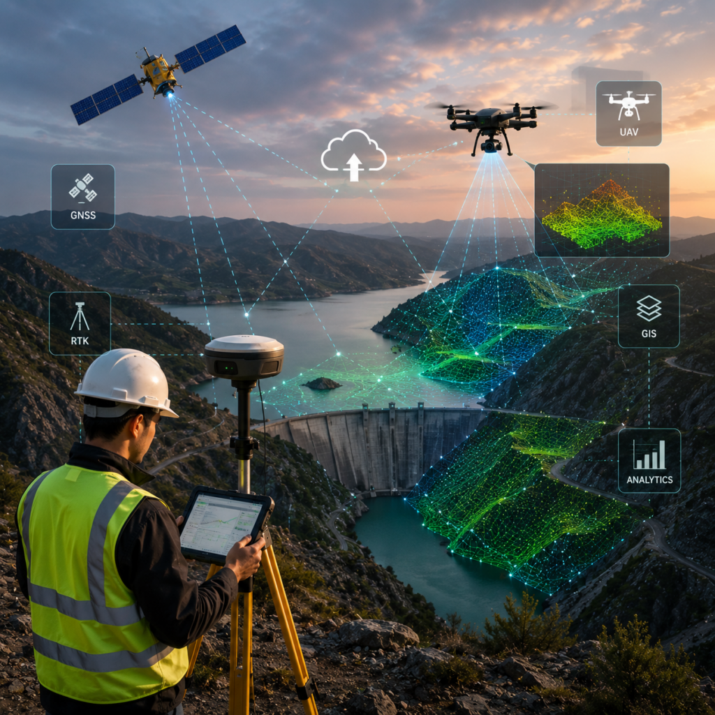
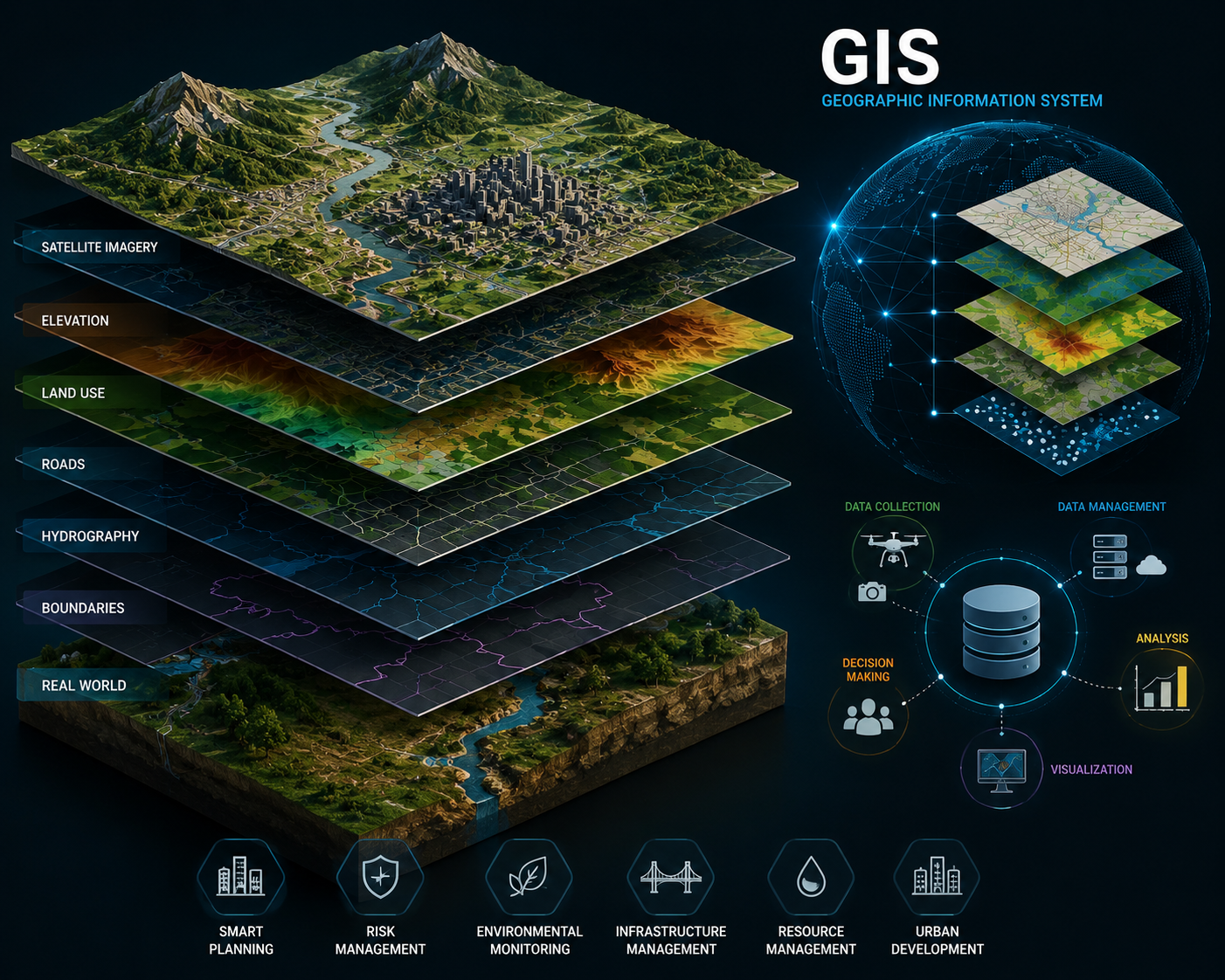
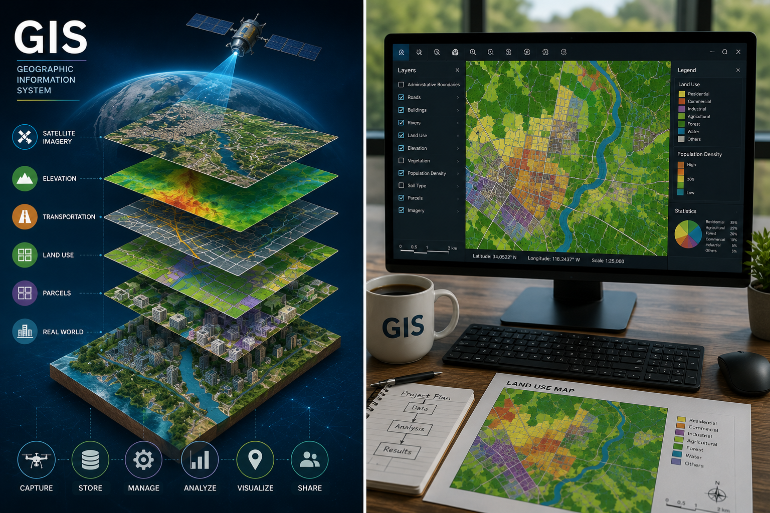
GIS
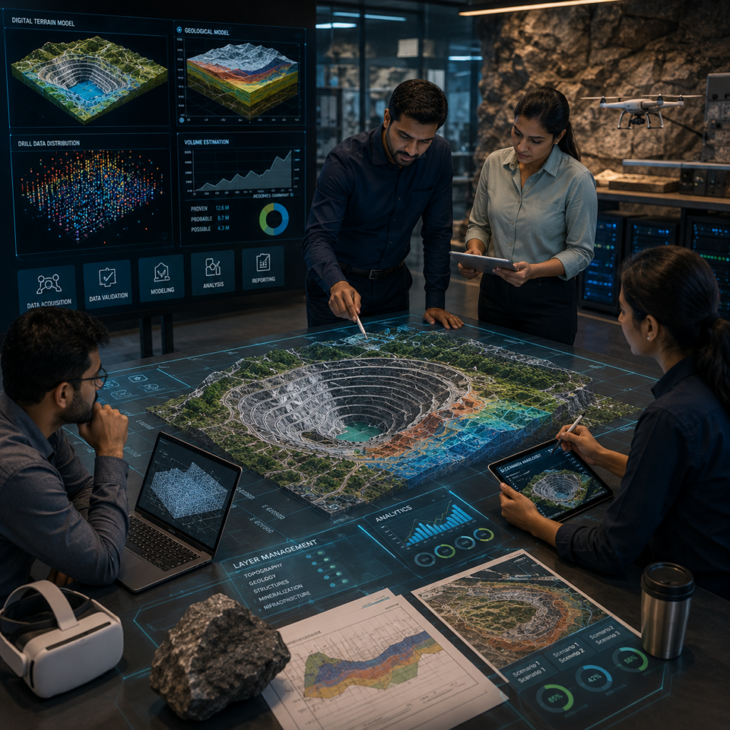
GIS (Geographic Information System) is a technology used to capture, manage, analyze, and visualize spatial and geographic data. It enables efficient mapping, terrain analysis, infrastructure planning, and geospatial intelligence through the integration of location-based information and digital mapping systems.GIS solutions support data-driven decision-making for mining, land management, environmental analysis, and infrastructure development by transforming complex spatial data into accurate visual insights.
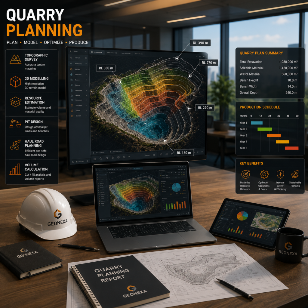
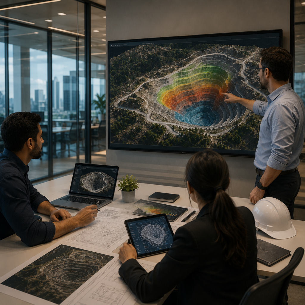
QUARRY PLANNING
GEONEXA provides quarry planning and mine design solutions focused on efficient resource extraction, operational planning, and geospatial analysis. Our approach integrates geological data, terrain modeling, and spatial intelligence to support optimized quarry development and sustainable mining operations.Using advanced mapping, survey data, and subsurface analysis, we assist in pit design, haul road planning, bench optimization, reserve estimation, and site layout planning to improve operational efficiency and decision-making.
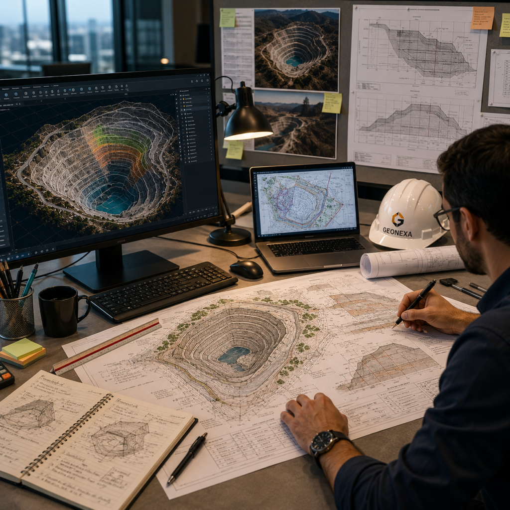
DESIGN AND DRAWING
Technical design and engineering drawing solutions for mining, infrastructure, and geospatial projects using accurate survey data and spatial analysis.
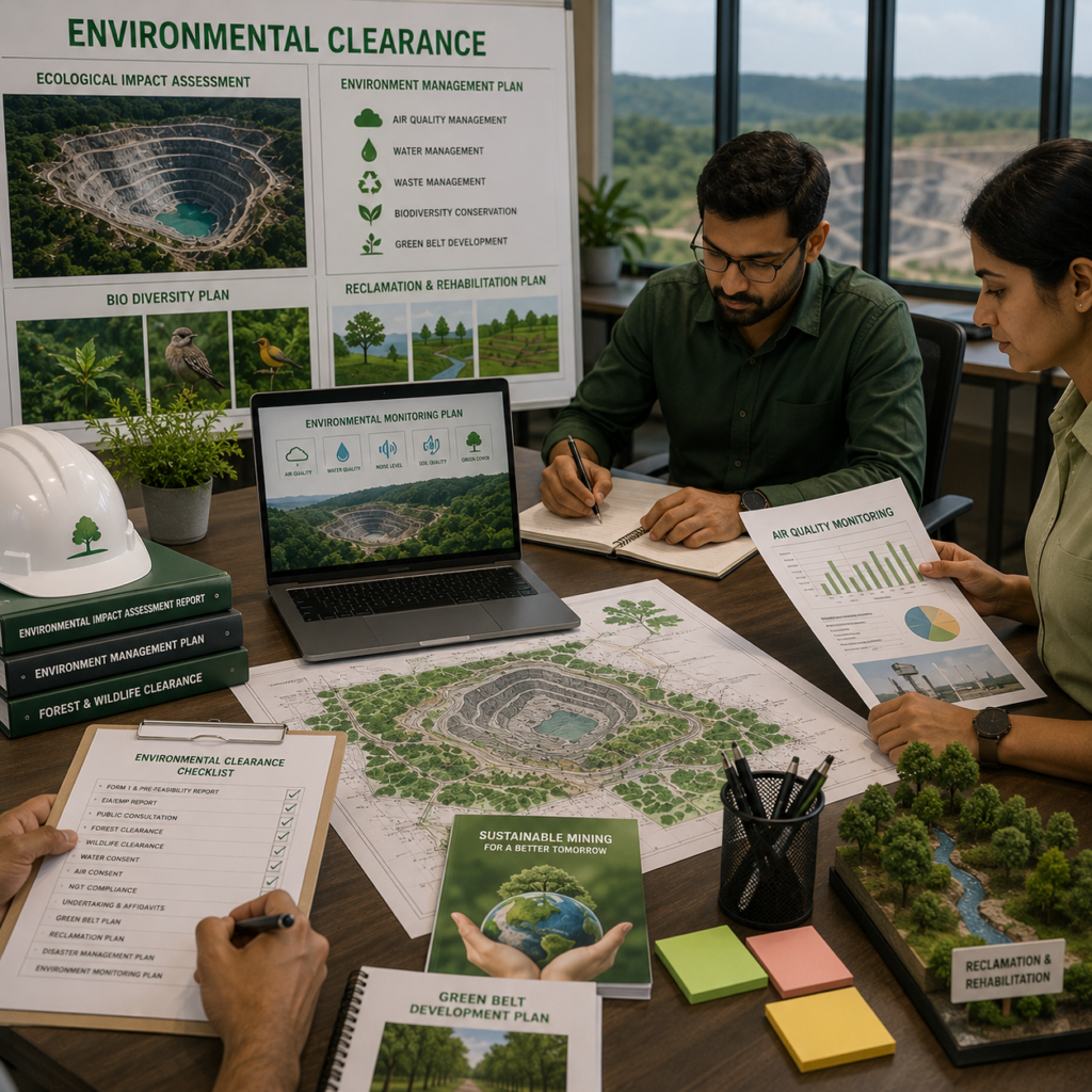
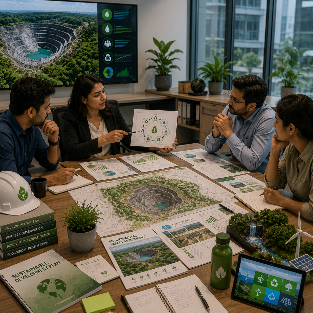
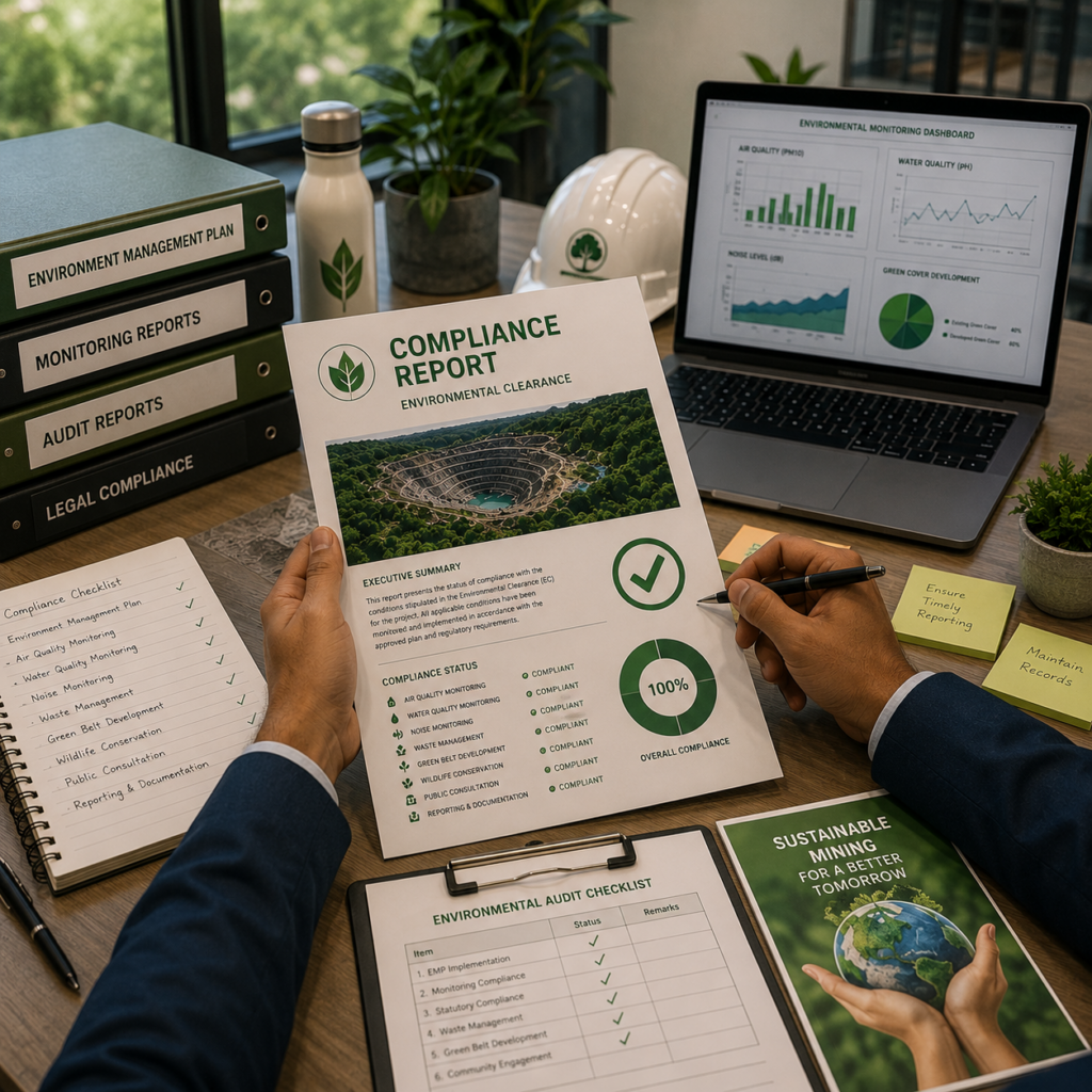
ENVIRONMENT CLEARANCE